 Syrian Arab News Agency S A N A
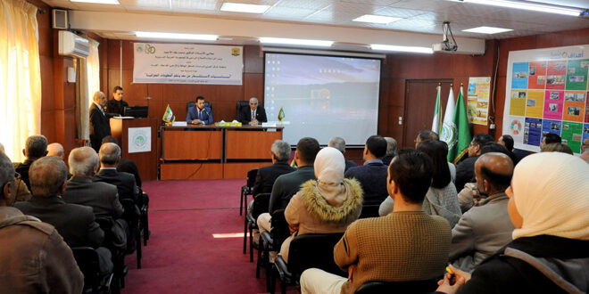
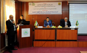
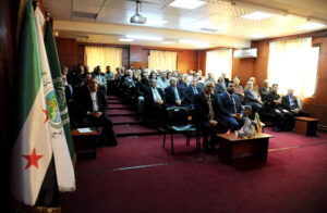
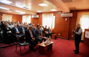
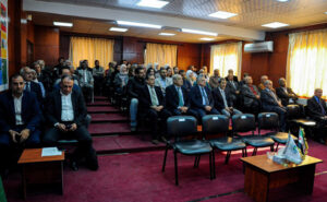
Damascus Countryside, SANA: The Arab Center for the Studies of Arid Zones and Dry Lands (ACSAD), in cooperation with the Ministry of Agriculture and Agrarian Reform, launched a training course Sunday on ‘Remote Sensing and Geographic Information Systems,’ with the participation of 25 agricultural engineers.
The course, which will run until the 20th of the current month at the center’s headquarters in Damascus Countryside, aims to enhance the technical capabilities of personnel in using modern technologies and addressing environmental and agricultural challenges in the Arab region.
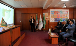
The course covers several topics, including components of geographic information systems, map correction, digital representation of geographic data, fundamentals of remote sensing, analysis of spatial data, and monitoring environmental changes through digital processing of databases, aiding in forecasting agricultural risks.
In a statement to SANA, Minister of Agriculture Dr. Mohammed Taha al-Ahmad underlined the importance of employing modern technologies to improve agricultural production, considering the course a practical step to build national capacities and enhance adaptation to climate changes.
Minister al-Ahmad also praised ACSAD’s role in transferring knowledge and implementing developmental projects to build a capable agricultural sector that can advance the Arab agricultural reality. He commended the fruitful cooperation with the center, which contributes to improving agricultural production in Syria and the Arab world.
ACSAD Director-General Naser Eddin Al Obaid highlighted the importance of holding the course given the serious environmental challenges facing the region, such as desertification, land degradation, and climate changes, which negatively affect food and water security.
He noted that remote sensing and geographic information system technologies are vital tools for achieving sustainable agricultural development, as they provide accurate data on crops and soil, support planning and natural resource management, and produce interactive maps that aid decision-making.
Dr. al-Obeid added that the course comes within the framework of strengthening cooperation between ACSAD and the ministry, and establishing a series of training programs to enhance the proficiency of specialists in various agricultural fields. It also aims to enable trainees to apply remote sensing techniques in future projects, thereby contributing to the enhancement of food security.
Reem Abdulhameed / Ruaa al-Jazaeri